Walkwithme: Nøklevann and Sarabråten (Thursday Oslo forest hike - part 2/3)
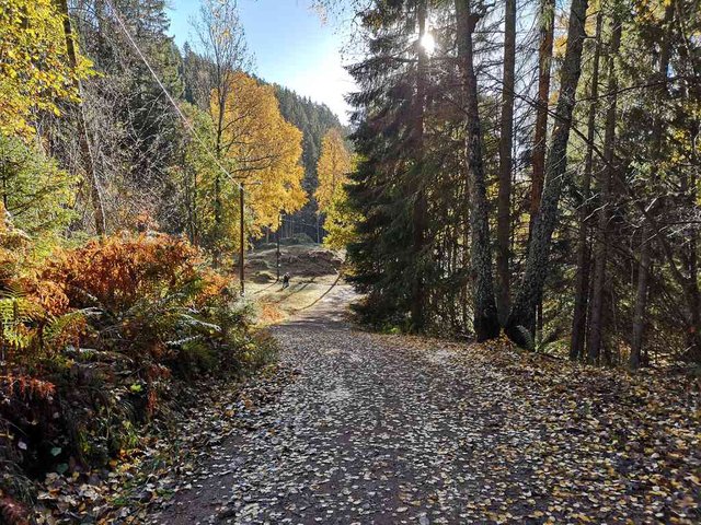
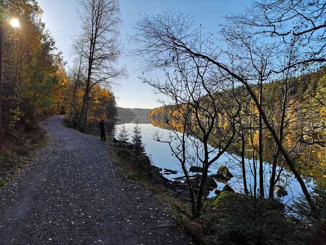
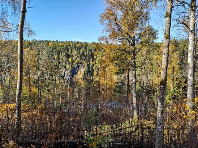
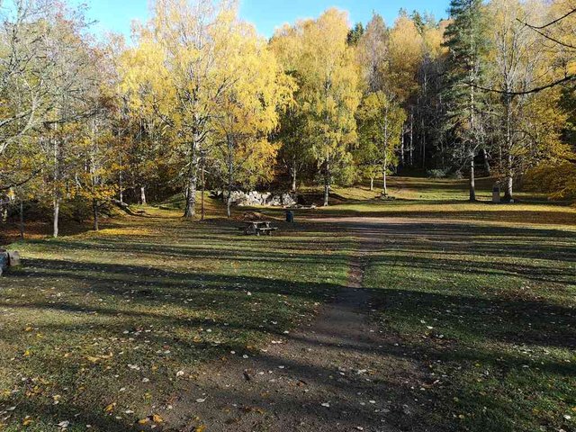
Arriving to this open place north of Nøklevann in such a nice weather was wonderful, for a moment I wanted to just give up civilized life and settle down here, building a shed and starting homesteading ... it should probably be possible to survive somehow. There has been a small farm here earlier.
position: geo:59.897022,10.873937 (geohack) - 2018-10-18 10:59:07 localtime - full quality
2018-10-18 11:00:00 localtime - full quality
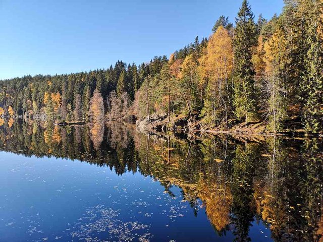
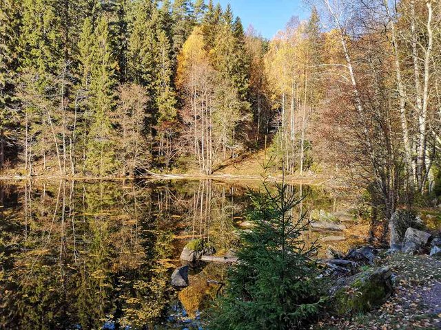
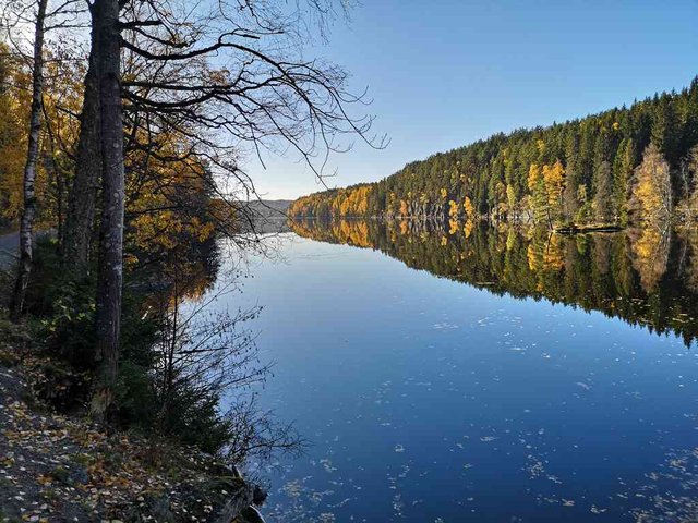
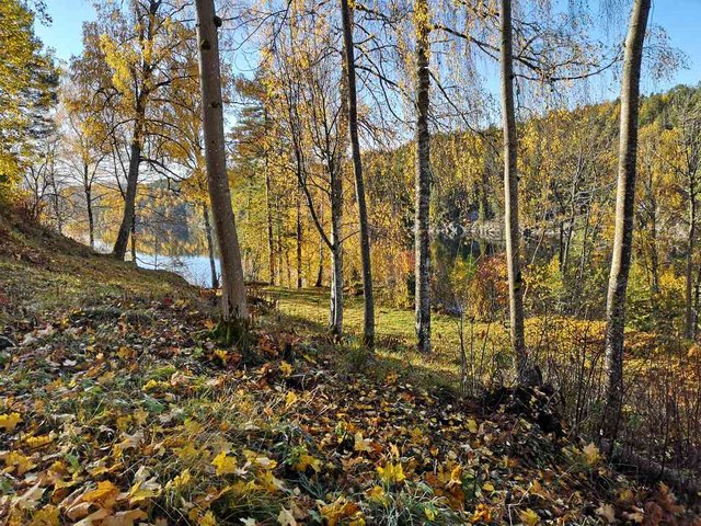
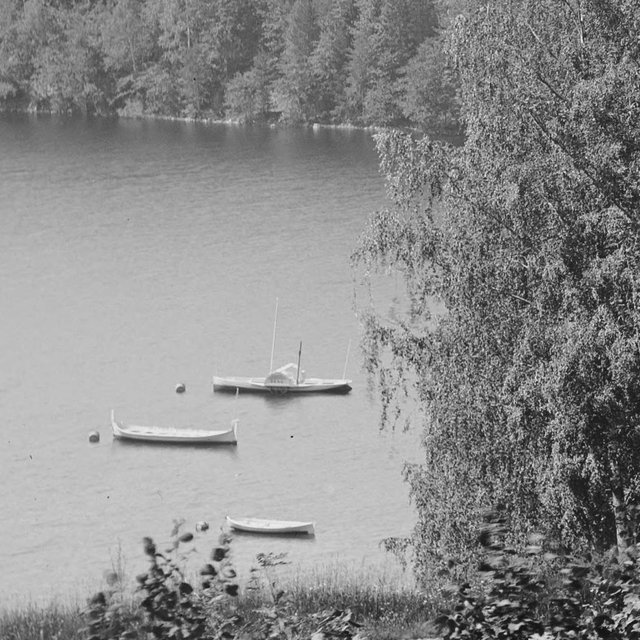
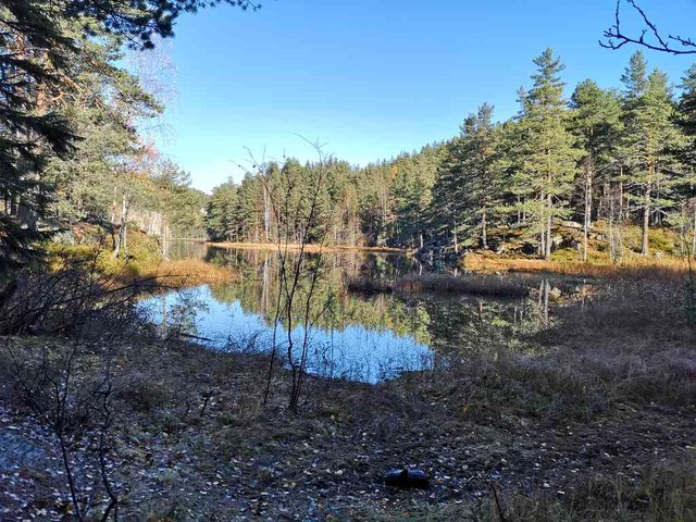
Nøklevann looks a bit like a key on the map, and that may be the reason for the name - "nøkkel" means key. It's a reasonably big lake, 3 km long. It was used as a drinking water reservoir from 1903-1983, and is still a stand-by reserve reservoir.
The train tunnel between the Oslo central station and Lillestrøm and the Oslo Airport (Gardermoen) is located under the lake, there was big problems with big water leakages into the tunnel. They were trying to stop the leakages with Roca-Gil - as they were doing the works, there was a big scandal in Sweden as toxic compounds leaked into the water supply - so they had to stop using Rhoca-Gil at once, making it even harder to stop the water. At the worst there was more than 4000 liters of water per minute running into the tunnel. It was a big mess, big cost overruns, one smaller lake (Nordre Puttjern) almost disappeared completely. More than 50 houses was written off due to the ground moving, even more got economical compensation for damages. It was a big question if they were to try opening the tunnel as planned at the same time as the airport opened; eventually they spent two more years trying to reduce the leakages - and still they didn't succeed completely, they have installed pumps to keep the water level from falling too low. For those reading Norwegian, there is an article at Aftenposten.
2018-10-18 11:04:17 localtime - full quality
position: geo:59.895378,10.875149 (geohack) - 2018-10-18 11:04:56 localtime - full quality
2018-10-18 11:05:48 localtime - full quality
position: geo:59.895011,10.875758 (geohack) - 2018-10-18 11:06:06 localtime - full quality
position: geo:59.895011,10.875758 (geohack) - 2018-10-18 11:06:14 localtime - full quality
position: geo:59.895011,10.875758 (geohack) - 2018-10-18 11:06:21 localtime - full quality
2018-10-18 11:07:39 localtime - full quality
position: geo:59.893894,10.876685 (geohack) - 2018-10-18 11:08:18 localtime - full quality
2018-10-18 11:09:58 localtime - full quality
position: geo:59.892375,10.878733 (geohack) - 2018-10-18 11:10:59 localtime - full quality
position: geo:59.892345,10.878733 (geohack) - 2018-10-18 11:11:03 localtime - full quality
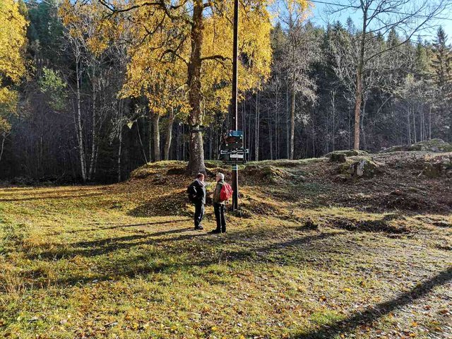
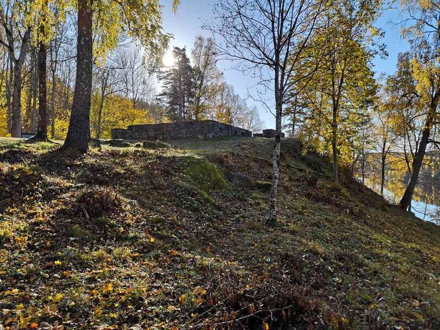
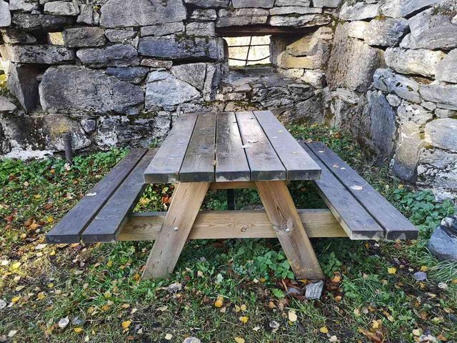
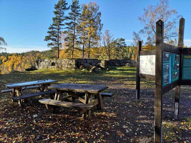
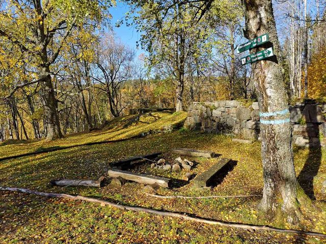
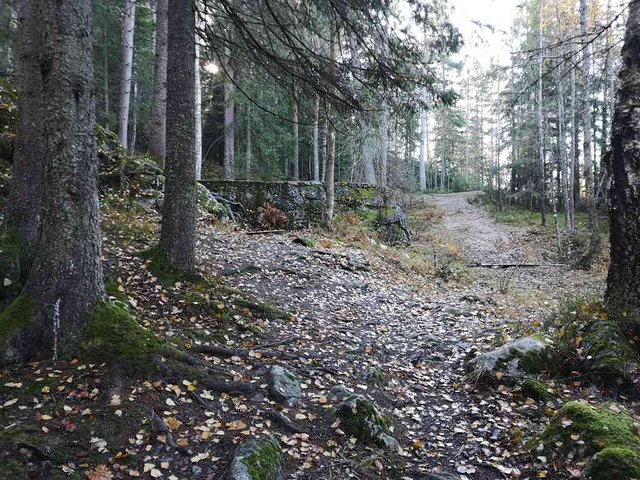
Then I came to some ruins - it was quite amazing. Two big structures. There were information boards there, so I learned that the name of the place was Sarabråten. The biggest building was bought up by the municipality and torn down because they considered the activity there as incompatible with the lake being a drinking water reservoir. THe other building burnt down in 1971. There seems to be a wordpress site dedicated to this place, https://sarabraaten.wordpress.com/ (norwegian).
position: geo:59.892345,10.878733 (geohack) - 2018-10-18 11:11:10 localtime - full quality
position: geo:59.89188,10.878764 (geohack) - 2018-10-18 11:11:46 localtime - full quality
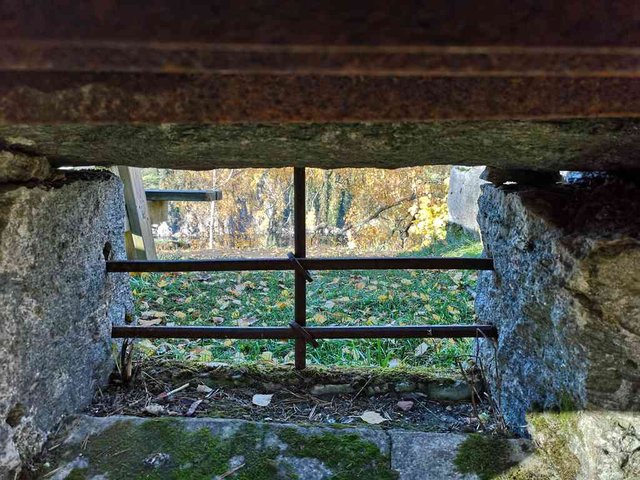
I don't believe the cellar was used as a prison, and I don't believe burglery was such a great problem out here, still those windows looks quite fortified ...
position: geo:59.889232,10.863716 (geohack) - 2018-10-18 11:12:15 localtime - full quality
position: geo:59.891952,10.87921 (geohack) - 2018-10-18 11:12:35 localtime - full quality
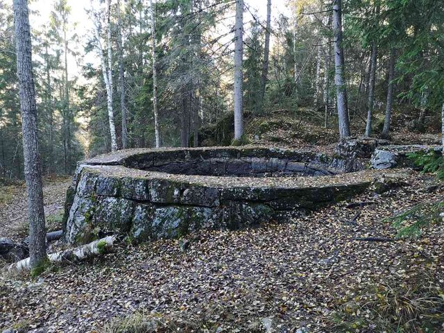
Here are the ruins from the other building, that burned down in 1971.
position: geo:59.891952,10.87921 (geohack) - 2018-10-18 11:12:47 localtime - full quality
position: geo:59.889232,10.863716 (geohack) - 2018-10-18 11:16:12 localtime - full quality
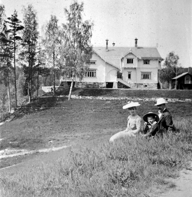
This is how the place looked like in the 1880s:
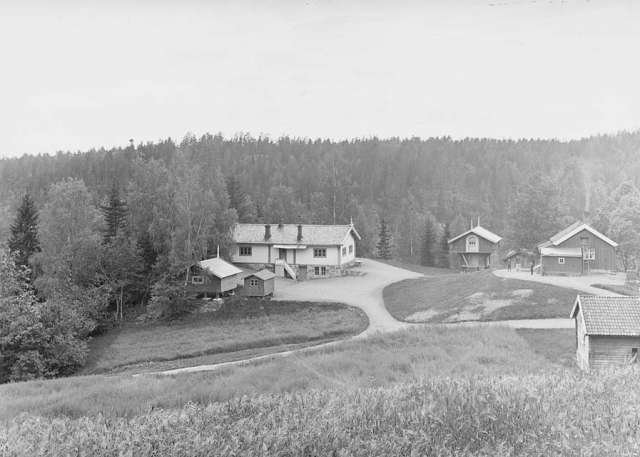
Photo by Axel Theodor Lindahl (1841-1906). Sources: Nasjonalbiblioteket, Wikimedia Commons. Public domain.
The white building was moved and expanded with one floor as the big house got built
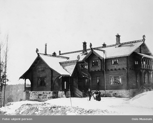
This is how the big house looked like (built 1903):
Sourced from Oslo Bymuseum via Wikimedia Commons, photograph unknown
Sourced from Oslo Bymuseum via https://sarabraaten.wordpress.com/ - unknown photograph
That's really an amazing building, and such a shame that it was torn down! Silly politicians! The timber was sold for constructing some other house. Possibly after an election (didn't find details on that), there was made attempts to buy back the timber so the house could be reconstructed again - but that was of course far too late.
This is how the smaller house (the old house that was moved and expanded) looked like before it burnt down:
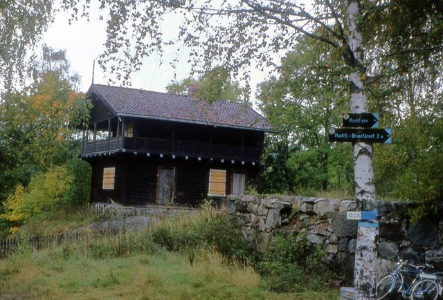
Sourced from sarabraaten.wordpress.com, https://sarabraaten.wordpress.com/kuskeboligen/ - Ulf Berntsen
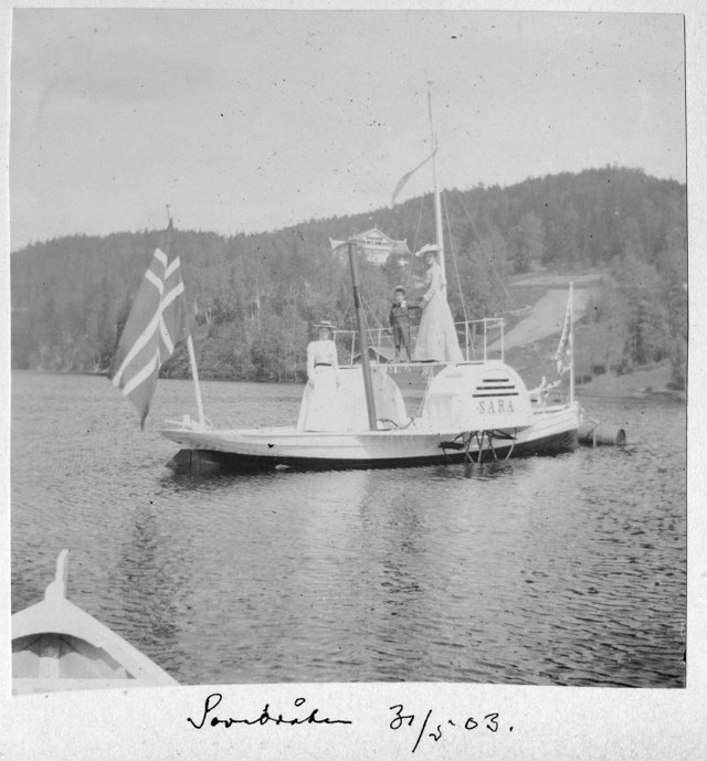
They also had three boats on the lake - Sara, Dragen and Marie. The photo below is from 1897, today such bouys are made of plastic - in earlier times glass balls were frequently used for keeping fishing nets. Looks like wooden barrels are being used on this photo.
Sourced from the national library via https://sarabraaten.wordpress.com/hjulbaten-sara/ - foto: Marthinius Skøien
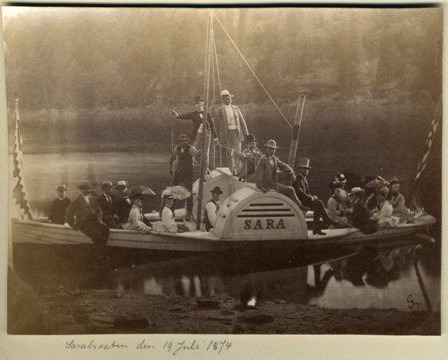
The biggest boat (Sara) was with hand-driven paddle wheels. Two persons driving the wheels and capacity for 20 (!) passengers (I suppose that by todays security standards, the official capacity would be downgraded to a handful of passengers). Those photos are from 1903 and 1874:
Sourced from https://sarabraaten.wordpress.com/hjulbaten-sara/, unknown photograph(s) - full quality (14MB)
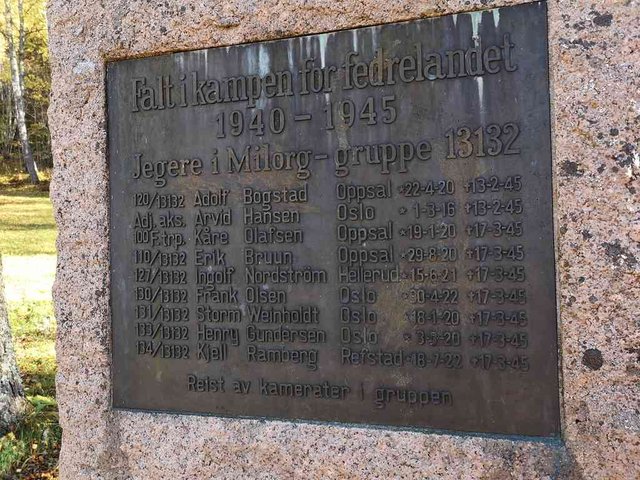
A memorial from the war (in Norway, "the war" refers to WWII).
position: geo:59.889232,10.863716 (geohack) - 2018-10-18 11:19:16 localtime - full quality
Nine members of the resistance movement killed just a month or three before the end of the war - what a bad luck.
position: geo:59.892265,10.880167 (geohack) - 2018-10-18 11:20:56 localtime - full quality
position: geo:59.892288,10.879675 (geohack) - 2018-10-18 11:22:11 localtime - full quality
position: geo:59.892288,10.879675 (geohack) - 2018-10-18 11:22:37 localtime - full quality
position: geo:59.891536,10.88052 (geohack) - 2018-10-18 11:39:00 localtime - full quality
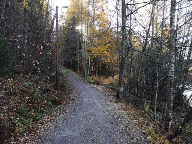
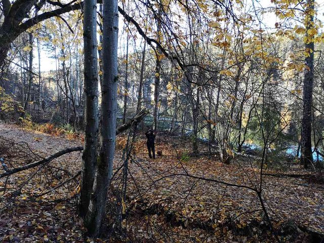
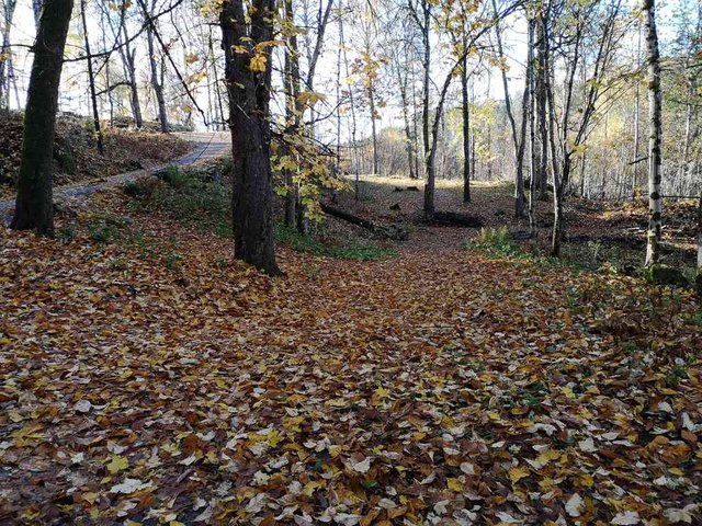
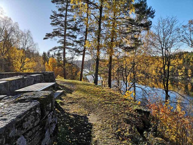
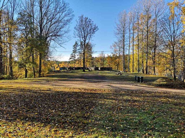
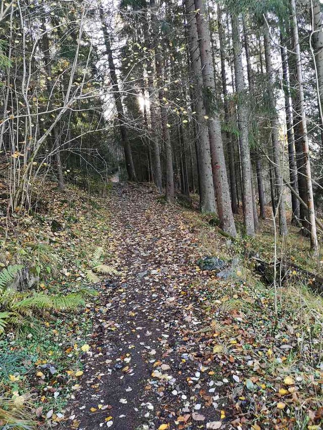
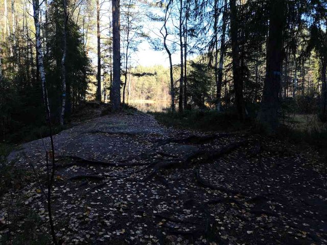
I continued this way
position: geo:59.89154,10.880522 (geohack) - 2018-10-18 11:39:06 localtime - full quality
2018-10-18 11:39:39 localtime - full quality
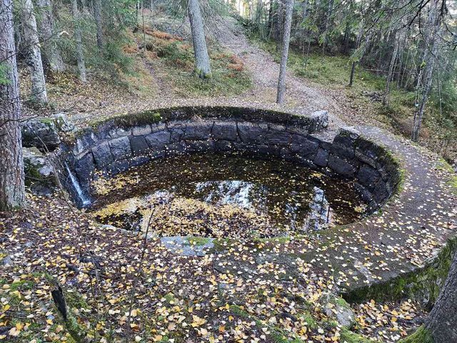
This was the drinking water reservoir for Sarabråten
position: geo:59.873226,10.808648 (geohack) - 2018-10-18 11:41:31 localtime - full quality
With such a heap of rottening leaves in the bottom of the reservoir, I wonder how adviseable it is to drink the water.
position: geo:59.889915,10.881643 (geohack) - 2018-10-18 11:42:37 localtime - full quality
position: geo:59.889934,10.881425 (geohack) - 2018-10-18 11:43:04 localtime - full quality
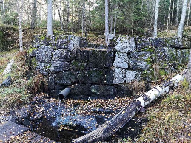
This water tube was going down to the houses at Sarabråten. The construction would typically be full of water with the stream overflowing from the top of the construction, ensuring there would always be enough water when opening the taps in the house - and probably this dam is usually full, that's easy to see from the dark surface on the stones. Now when studying the photos, I can see that the water level on the inside is quite much higher than the tube - the tube is probably partially blocked by leaves, constraining the flow.
position: geo:59.889934,10.881425 (geohack) - 2018-10-18 11:43:19 localtime - full quality
Here is the source of the water in the stream
position: geo:59.889232,10.863716 (geohack) - 2018-10-18 12:00:00 localtime - full quality
position: geo:59.891448,10.885992 (geohack) - 2018-10-18 12:00:30 localtime - full quality
Previous post: part 1, next post: part 3
Selected photos available in original quality on IPFS Qme1LfBop6nSAQnRtSpwVQ8BsXBfc77ARkDz1vf18dVmKG. All photos taken available in original quality on IPFS QmZ5UGH8Dnz5KmHgP9vC4CXWFcLhoGARBm6QG41xBJVPv2. The CC BY-SA 4.0 license applies on both my photos and the article
Don't be afraid to criticize my posts. I will give a 100% upvote to any (unique) reply pointing out typos, grammar mistakes or mistakes in the facts presented. This applies to any post or comment from me, no matter how old. I also usually give upvotes to opposing points of view, particularly when a good and logically valid argument is given.
hey, @tobixen.
That's an amazing hike/walk through the wilderness so far. Really enjoyed your journey here and can understand why you would just want to go ahead and just live here. Sorry to hear about your back (previous post), but I'm glad you're getting a chance to take time off (even though it sounds like you would rather not). That way, you can walk through the woods.
Those older pictures you show of the way things were there are amazing too. I guess nothing lasts forever. I wonder what will be left of the buildings and infrastructure we all leave behind in fifty to a hundred years? Will they still be in use? No way to know, I guess. Still food for thought.
Mange takk for de nydelege haustbileta @Tobixen
Fint å få sjå nokre historiske bilete fra området også.
Teksten supplerer bileta fint og eg lærer mye nytt her.
awesome nature.
like from the fairytales, even can't believe it's real photos.
I can imagine how wonderful air is in this place.
Forests can magic power. When you enter them, it seems like you're recharged at once, so much new energy and new strength
forest seem to take away all negative from us
I adore going there, though near my city there are no so picturesque forests as this one, but nevertheless, they all have this magic.
I'm sure, nobody can find any mistake in your posts.
I believe you too could need a walk in the forest
howdy from Texas tobixen! wow what a gorgeous area! I can see why you'd like to live there but is it allowed, I mean if they tore that big beautiful home down because it was close to the reservoir.
I love the old vintage photos, I use alot of old photos on my posts as well. The hand-driven paddle boat was especially interesting.
The photos of this area were wonderful, do you have other favorite places that you post about?
The short answer is "no".
It's no longer used as a drinking water reservoir, common rules for the Oslo forest applies; it's allowed to put up a tent but not for more than three days in a row. There are very few buildings remaining in the Oslo forest, it's generally allowed to maintain the existing buildings, but not to build new buildings, and it's very strict.
One thing is the law and regulations, the other thing is what one can get away with. Some years ago there were a group of gypsies having a quite permanent camp in a very popular area (more popular than this place), land was owned by a state organization, it took the full summer and more before the police intervened.
On a place like this, there are too many people passing by and too many that would mind - but I'm quite sure that if choosing land owned by the state or municipality and going a bit away from the trodden paths and popular lakes one could easily build a shed and settle down - at least for some few years.
wow that sounds like a great getaway plan if the stuff hits the fan and the world is plunged into some type of every man for himself scenario!
Thanks so much for the explanation.
Absolutely breath taking!!!
This one has so much story in it. And that huge well?! Fantastic walk friend! Love it!
Thank you for this post with beautiful pictures of Nøklevann with its lake, it is impressive that it used to be drinking water reservoir, but luckily now it is a beautiful place for hiking and fresh air. The pictures from beginning of 20th century showed beautiful buildings and I like the boats on lake, it is a shame that the house was built down and that would be now more than hundreds year old. Nice to see how much history included in such a little area and the memorial board reminds us again that the people all over Europe were involved in World Wars the first and second too. The photographs are really amazing.
So many things did happen there back then but look at how quiet and serene it is now... A few things destroyed but the place still looks good. Maybe because of those beautiful trees, nature and even the ruins?
You must have enjoyed your walk, relocating to that place wouldn't be too bad of an idea...
I have been to Nøklevann and Sarabråten several times. I grew up in that area, and these beautiful pictures takes me right back to an Autumn days as a kid! 😊
Hi tobixen,
Visit curiesteem.com or join the Curie Discord community to learn more.
Hi @tobixen!
Your post was upvoted by @steem-ua, new Steem dApp, using UserAuthority for algorithmic post curation!
Your UA account score is currently 3.867 which ranks you at #4137 across all Steem accounts.
Your rank has improved 11 places in the last three days (old rank 4148).
In our last Algorithmic Curation Round, consisting of 239 contributions, your post is ranked at #117.
Evaluation of your UA score:
Feel free to join our @steem-ua Discord server