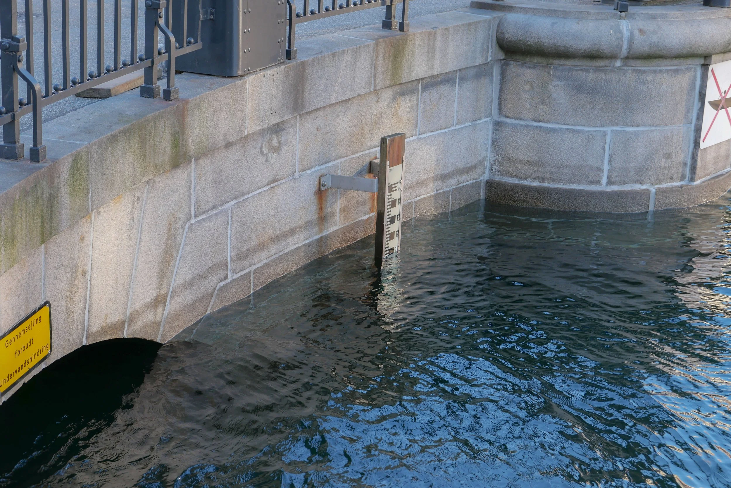
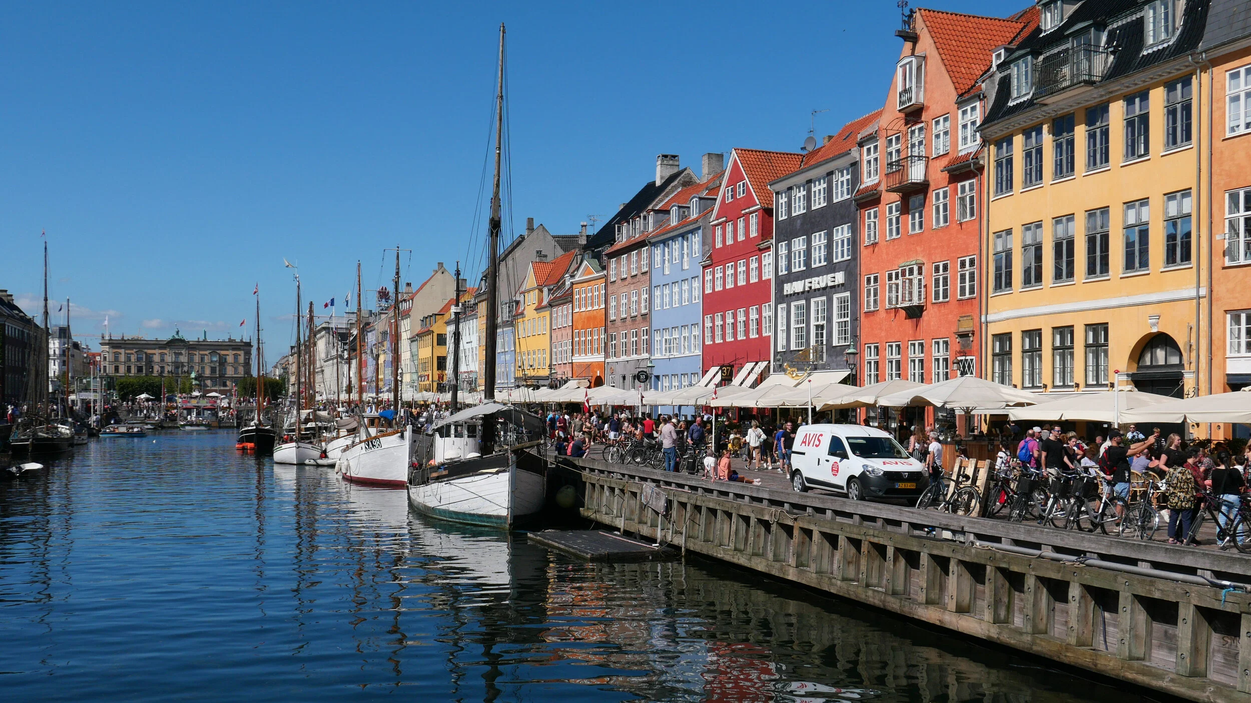
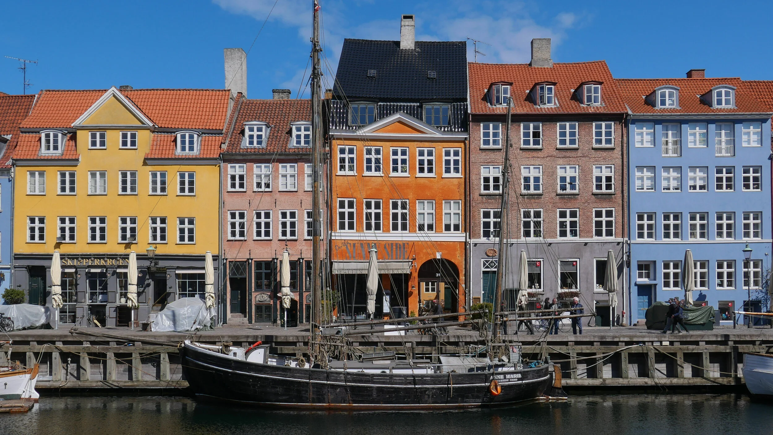
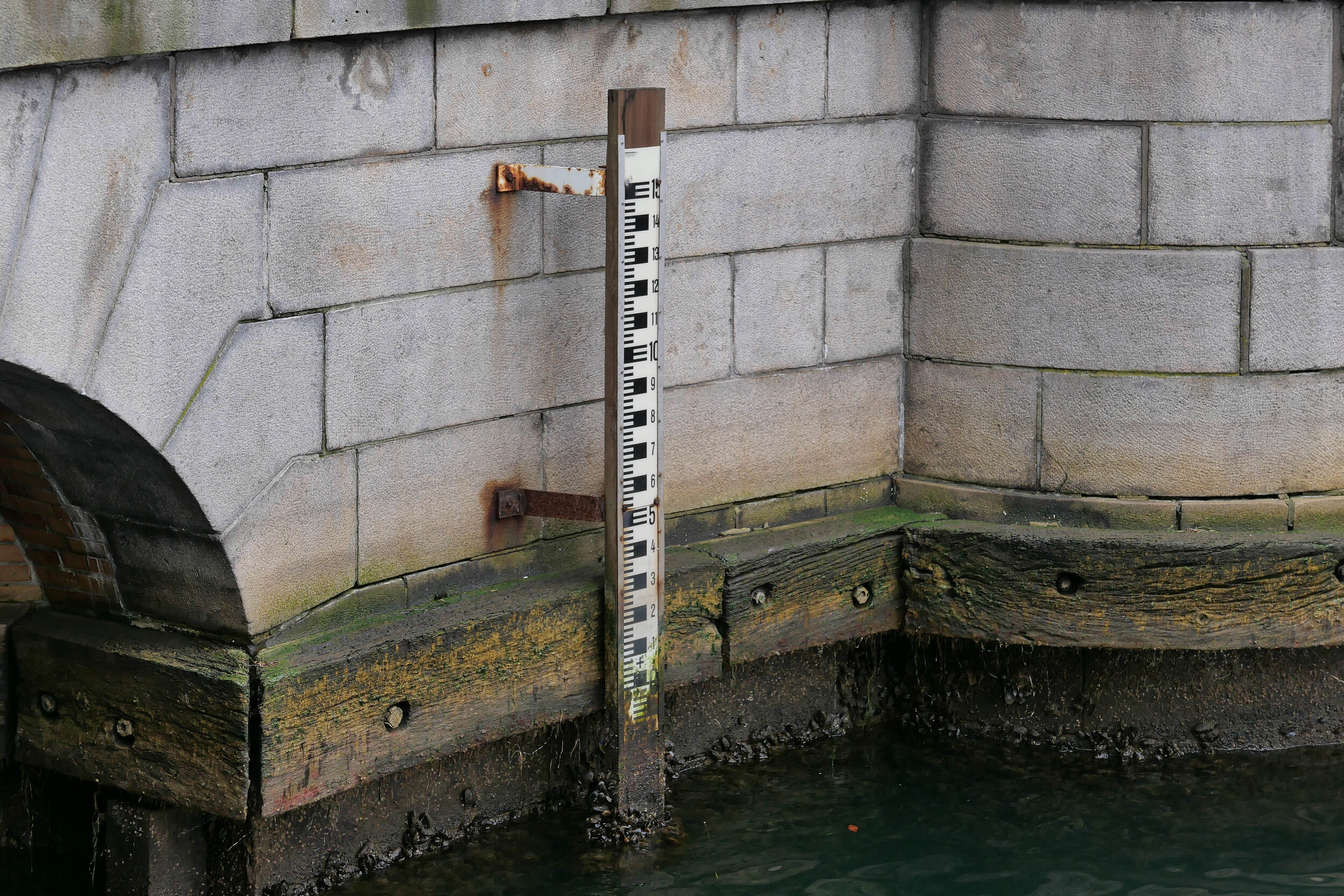
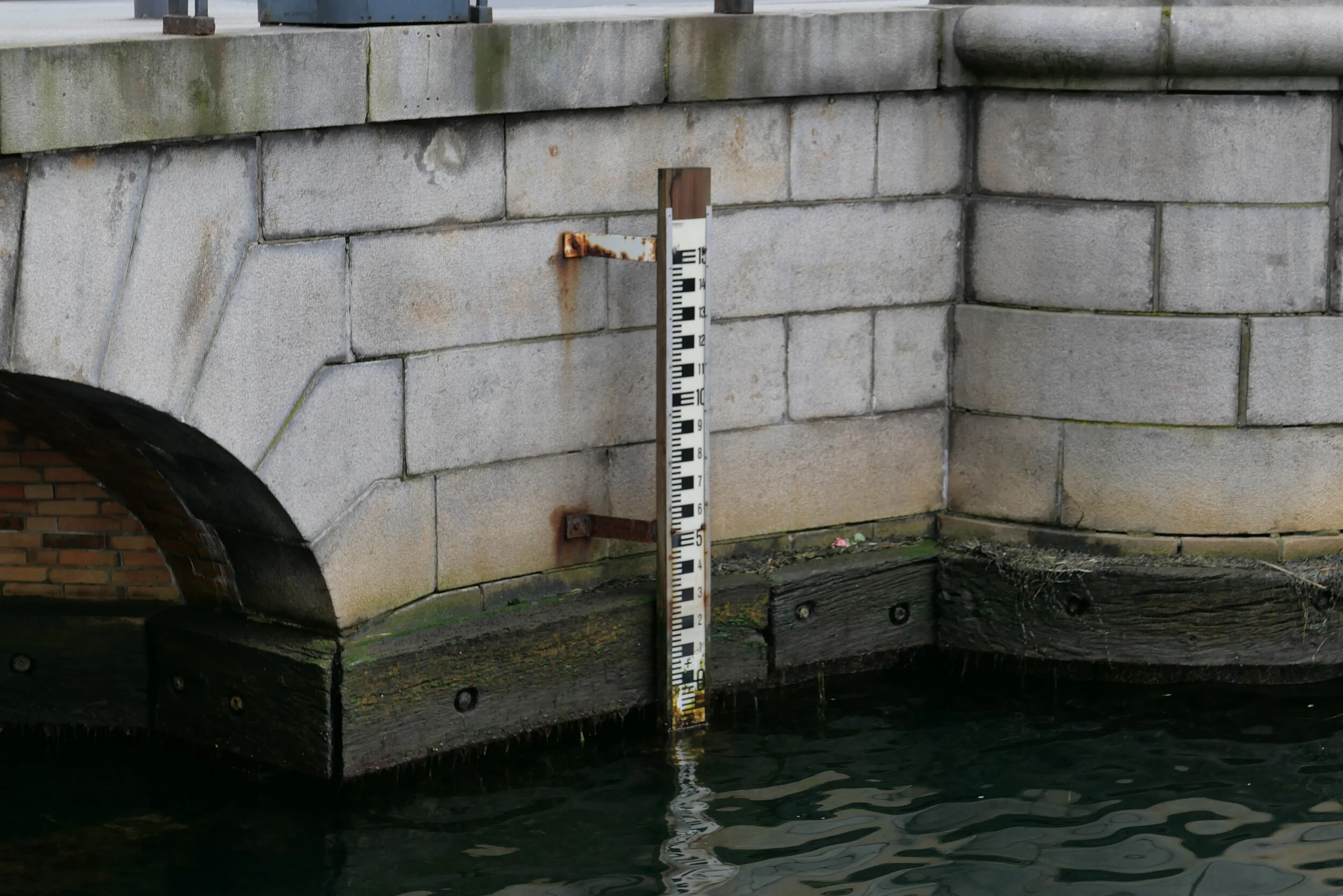
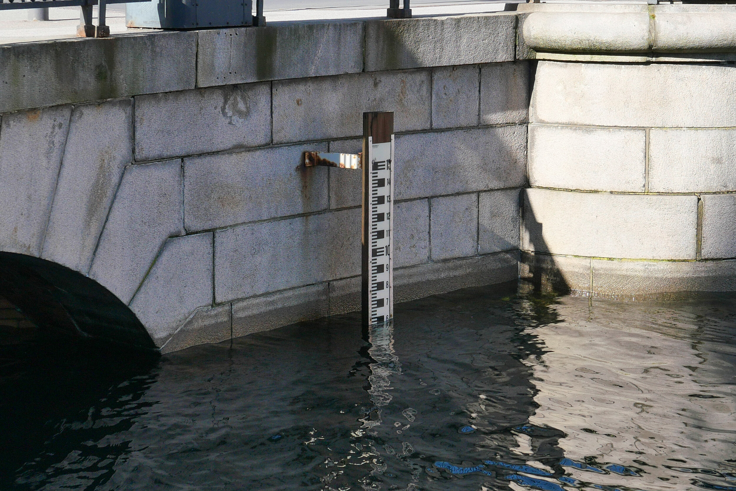
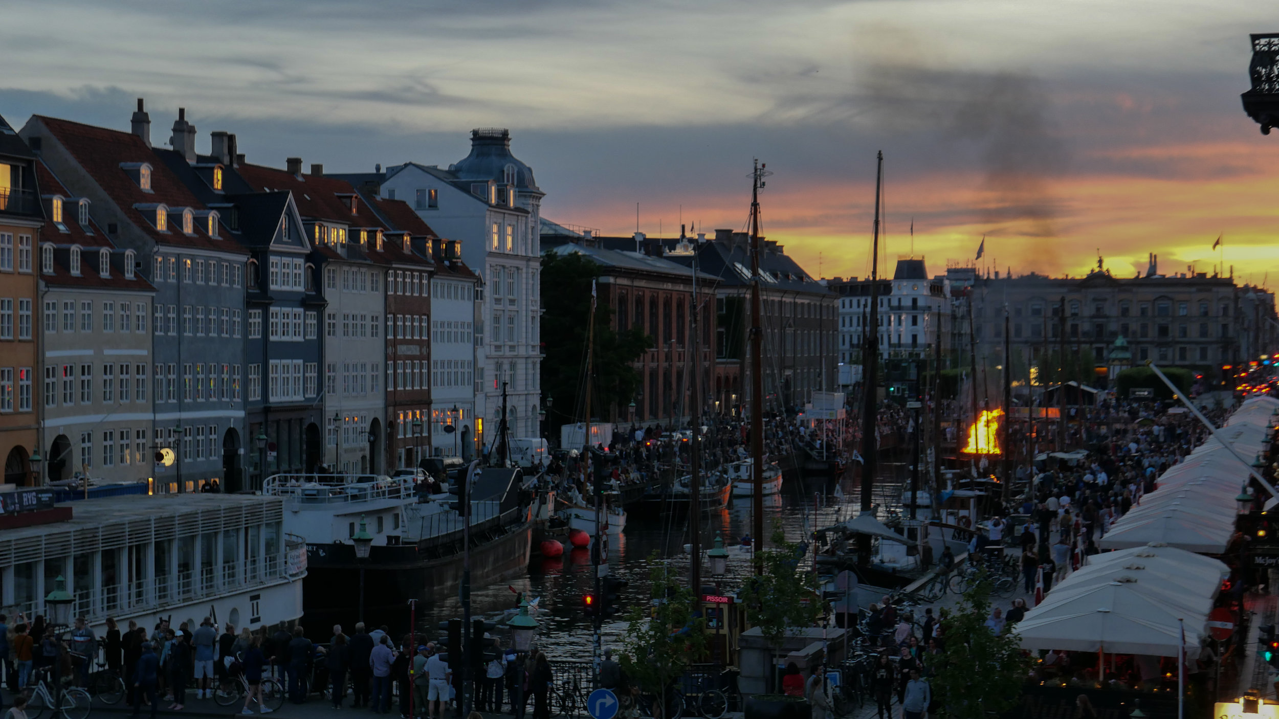
Living now on Nyhavn I'm very aware of the levels of the water in the harbour as the tide rises and falls each day. It might not be as dramatic or by as much as on the west coast - where settlements face out to the North Sea and its weather - but still the level of the water in the harbour rises by as much as a metre from the lowest to the highest level through each day. There is a fixed measure on the bridge across the middle of the harbour that I can see from my desk … or, to be completely honest, there is a height marker I can see from my desk if I stand up …. and I can also hear when the tour boats stop just before the bridge to drop off and pick up passengers if the tide is too high for the boats to get under the bridge to reach the ticket office and landing stage at the top of the harbour.
The quayside here is just 1.5 metres above the level of the sea water at high tide …. so, to put it the other way round, the sea is just 1.5 metres below my front door.
The highest tidal surge out in the sound - sea water driven by winds or storms - was apparently three metres in 1872 although there seems to be no record of floods and damage in the city that year as a consequence. Complete official records date back only to 1890.
There was a surge of 1.57 metres in 1921 and the highest surge of sea water from a storm recently was on 19 January 2007 when the water level rose by 1.31 metres. I've looked at back copies of Politken for that weekend but, curiously, there seem to be no reports of flooding or damage in the city with just one report about the harbour that weekend that has a photograph of a huge number of bikes that had been hoiked out of the canal around Christiansborg as part of a clean-up campaign.
But then add the height of a possible storm surge to the higher level of the sea because of global warming and melting of polar and Greenland ice and you can see why the city has to make major decisions now about what has to be done.
Calculations have suggested that, between now and 2050, sea level in the sound will rise between 10 centimetres and 30 centimetres and by the end of the century - so only 80 years away - the rise in sea level here will be between 20 centimetres and 1.6 metres with a 5% chance the rise will be over 2 metres. The median figure for the rise in sea level for Copenhagen is 70 centimetres and that could mean water lapping over the quay at high tide.
The only thing that is certain, is that I won't be here eighty years from now but, in a worst-case scenario, the sea will be at the front door of this building and that is without worrying about storms.
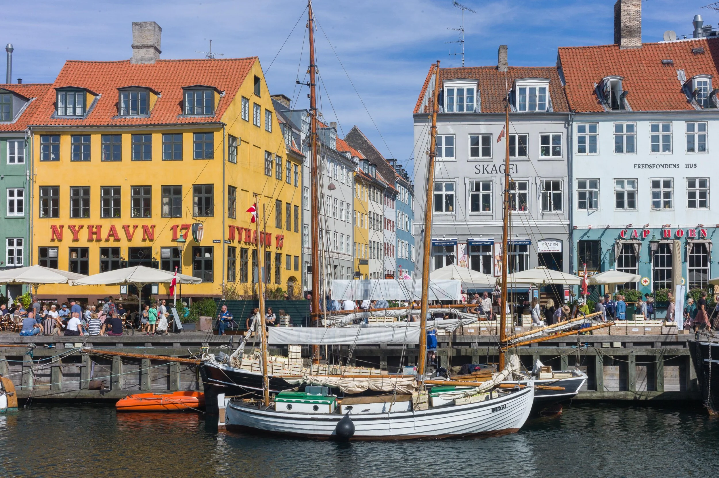
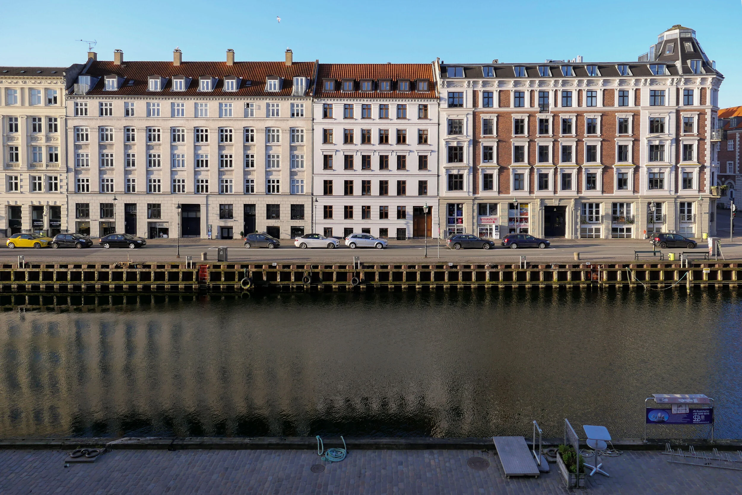
The whole of Christianshavn was built up out of the sea in the 17th century and looking at historic maps it is clear that the outer part of Nyhavn was built out way beyond the line of the beach.
I have read somewhere that the crown sold off areas of the sea bed and it was up to new owners to drive in wooden piles and fill in and create a plot for their buildings. Whether or not that is true, I wonder how much rising water levels will effect foundations. There is remarkably little visual evidence for subsidence but what will happen as the water table rises? And, more important, whatever work is considered to protect the city from flooding, major engineering interventions will change, and change permanently, the character of the inner harbour and the beaches and low-lying land of Amager - the island immediately to the south of the city.